
Banburyshire Rambles Photo-Journal
Paul Mobbs’ photographic record of his walks around ‘Banburyshire’ and ‘The Irondowns’, and occasionally, as part of his work around Britain, the areas beyond.
![]()

‘Last Chance (HS)To See’ index
View Ordnance Survey map for this site
View HS2 route map for this site
‘Last Chance (HS)To See’ – Scene 11:
‘Radstone Bridleway (AX22)’
A viewpoint across the rolling hills of south-west Northamptonshire
11th May 2018
© 2018-2021 Paul Mobbs; released under the  Creative Commons license.
Updated February 2021.
This scene is fairly representative of this corner of the county. The geology of South Northamptonshire has more in common with the Costwolds than North Oxfordshire and Buckinghamshire – made of hard Blisworth or White Limestone. On top of that, however, sits a thick layer of glacial deposits – a mixture of fine silts and clays full of variously smooth and angular gravels, stones and cobbles. Hence why this corner of Northamptonshire, sitting between the Nene and Great Ouse valleys, is a fairly flat plateau coated in clayey soils with undulating valleys cut by small streams.
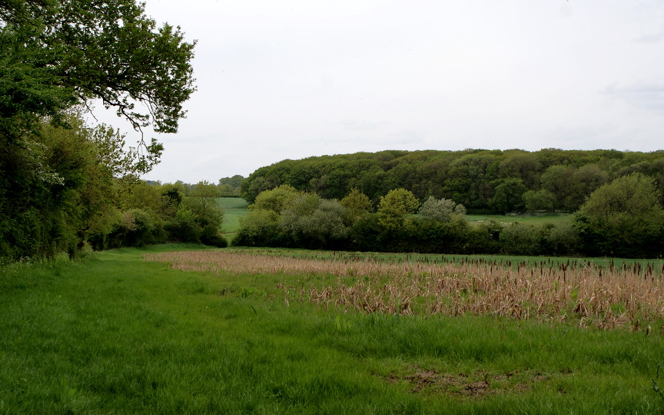

This is a good point to view the sweep of the HS2 route through Radstone and Halse Wood – and in particular, how the likely changes to the landform of these undulating hills, and the planting of "green corridors" which are intended to reduce both noise and visual impact, will affect the views and perceptions of the landscape more generally.
Most of all, what this point encapsulates is the relatively open quality of this landscape, with larks singing high over the fields hereabouts.
Panorama from the low hill above Radstone
Use the slider to move the view from side to side
Load map of this location.